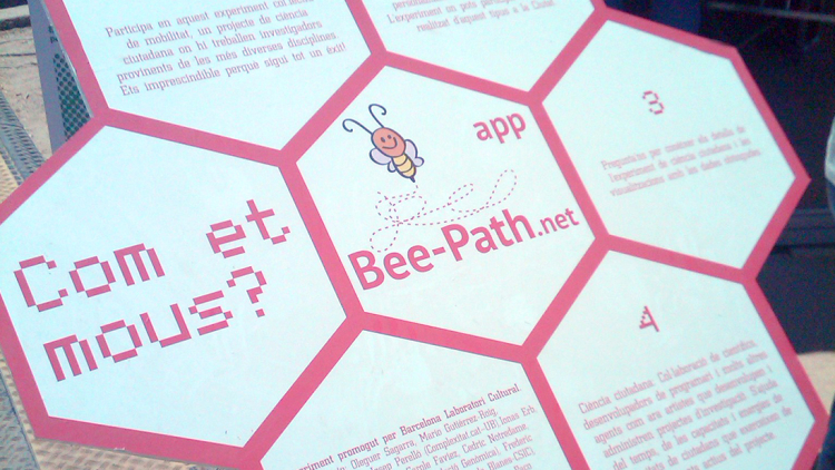
Beepath
A project that allows us to study human mobility, recording it through mobile devices.
A concrete experiment is defined with the community and the GPS data is analysed in such a way that it can tell us different things about our urban environment and its walkability. The project therefore focuses on pedestrian mobility. It works with our own movement statistics and maps that inform our urban context.
BeePath is carried out with the direct, voluntary and conscious participation of citizens. It maintains direct communication with the users and makes the results of the research accessible. In addition, the codes and data from the experiments are openly available for anyone who wants to use them. The project is co-created with citizens, motivated to improve walkability to schools or to analyse the uses and traffic of different public spaces in a neighbourhood or city. In this way, groups of participants can draw up proposals to improve their urban environment.
Citizen involvement: co-creation and data generation.
Status: active on a regular basis.
Activities within the framework of the Office: Neighbourhood Programme, School Programme, Science Festival, Community of Practice.
Scope: social.


